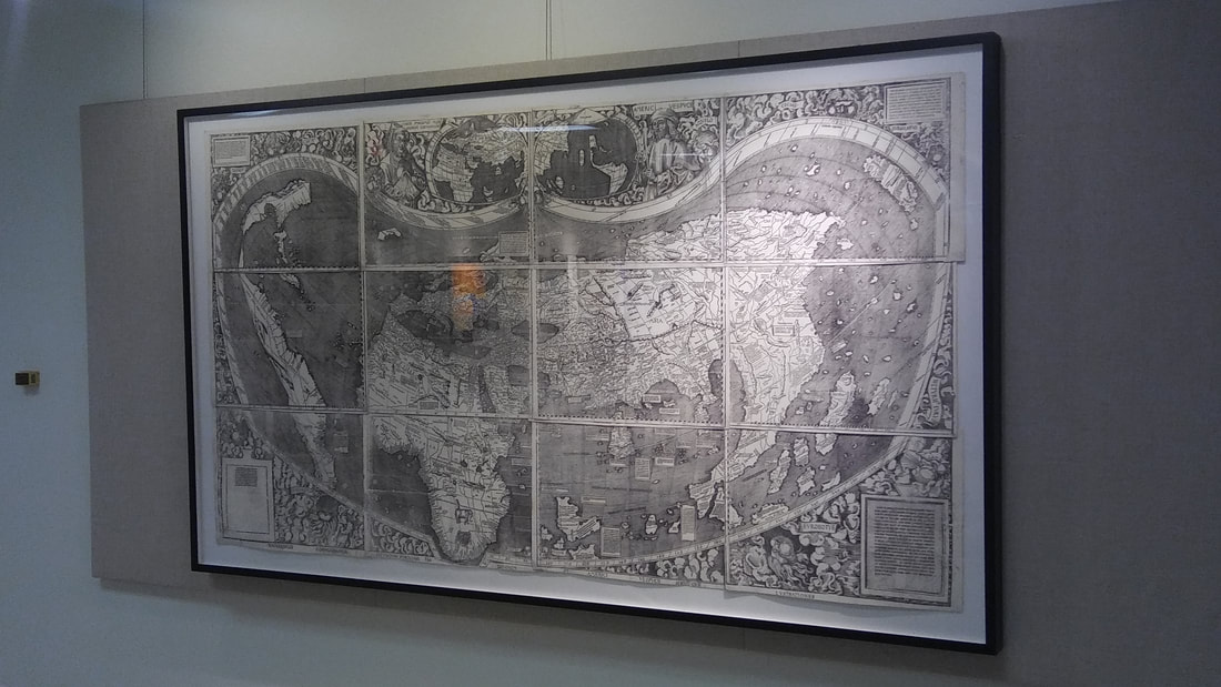
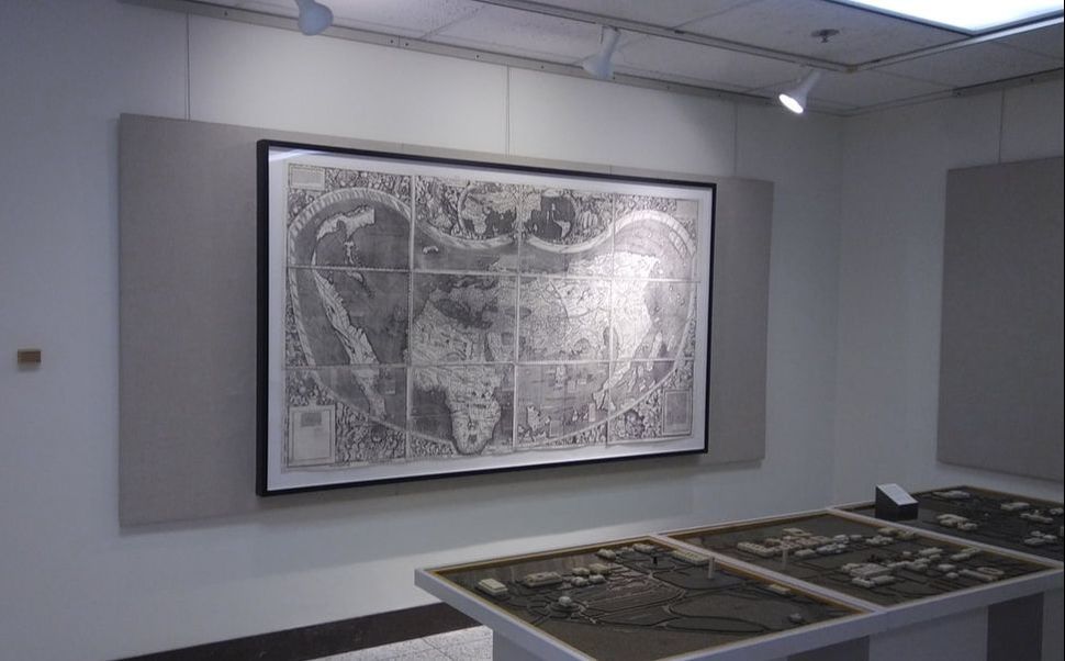
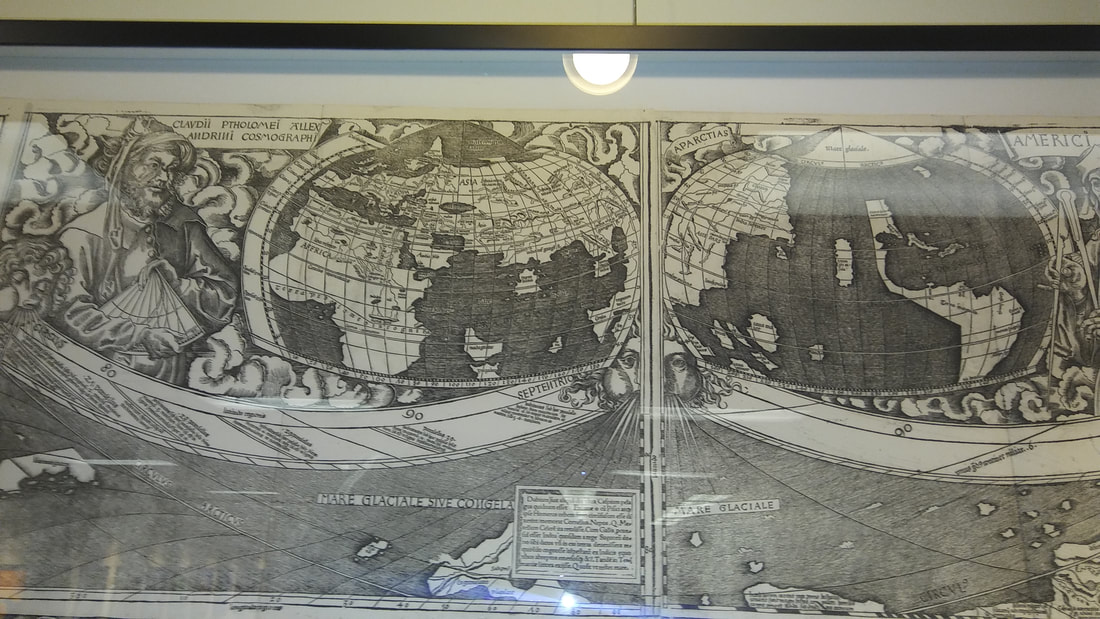
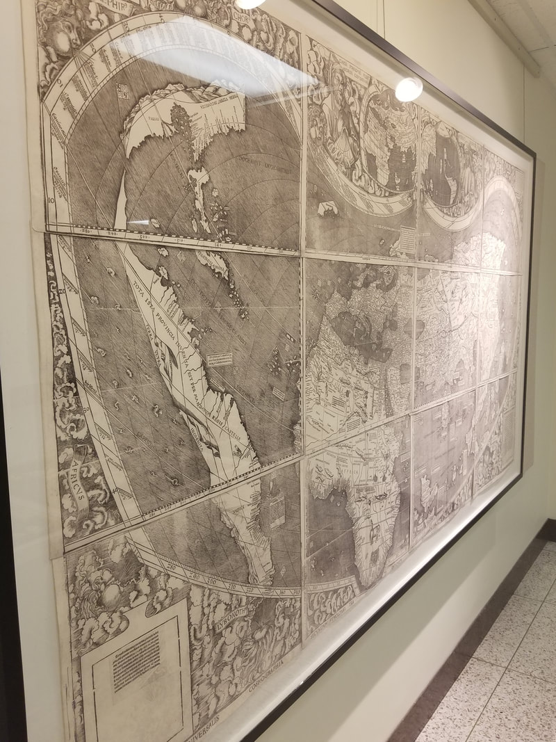
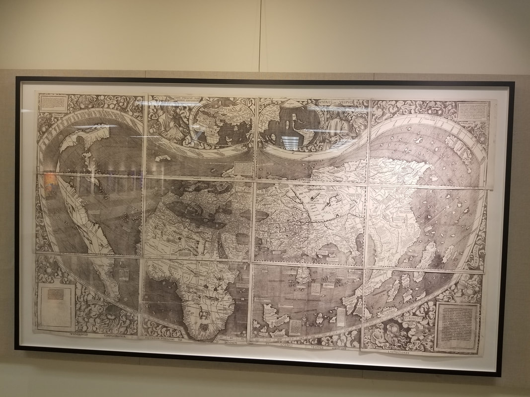
The Waldseemuller Map
"America's birth certificate"
https://www.smithsonianmag.com/history/the-waldseemuller-map-charting-the-new-world-148815355/
A brief history of the Waldseemuller map
"The 1507 map! It had to be. Alone in the little garret in the tower of Wolfegg Castle, Father Fischer realized that he had discovered the most sought-after map of all time...The reception was ecstatic: "Geographical students in all parts of the world have awaited with the deepest interest details of this most important discovery," the Geographical Journal declared, breaking the news in a February 1902 essay, "but no one was probably prepared for the gigantic cartographical monster which Prof. Fischer has now awakened from so many centuries of peaceful slumber." On March 2 the New York Times followed suit: "There has lately been made in Europe one of the most remarkable discoveries in the history of cartography," its report read.Interest in the map grew. In 1907, the London-based bookseller Henry Newton Stevens Jr., a leading dealer in Americana, secured the rights to put the 1507 map up for sale during its 400th-anniversary year. Stevens offered it as a package with the other large Waldseemüller map—the Carta Marina of 1516, which had also been bound into Schöner's folio—for $300,000, or about $7 million in today's currency. But he found no takers. The 400th anniversary passed, two world wars and the cold war engulfed Europe, and the Waldseemüller map, left alone in its tower garret, went to sleep for another century.
Today, at last, the map is awake again—this time, it would appear, for good. In 2003, after years of negotiation with the owners of Wolfegg Castle and the German government, the Library of Congress acquired it for $10 million. On April 30, 2007, almost exactly 500 years after its making, German Chancellor Angela Merkel officially transferred the map to the United States. That December, the Library of Congress put it on permanent display in its grand Jefferson Building, where it is the centerpiece of an exhibit titled "Exploring the Early Americas."
To satisfy your curiosity about the map start out reading the Library of Congress's article about the Map before we delve deeper into the mystery behind the Waldseemuller map.
https://www.loc.gov/loc/lcib/0309/maps.html
https://www.loc.gov/loc/lcib/0309/maps.html
Profiles in cartography
CARTOGRAPHY- THE ART AND SCIENCE OF GRAPHICALLY REPRESENTING A GEOGRAPHICAL AREA USUALLY ON A FLAT SURFACE SUCH AS A MAP OR CHART.
CARTOGRAPHY- THE ART AND SCIENCE OF GRAPHICALLY REPRESENTING A GEOGRAPHICAL AREA USUALLY ON A FLAT SURFACE SUCH AS A MAP OR CHART.
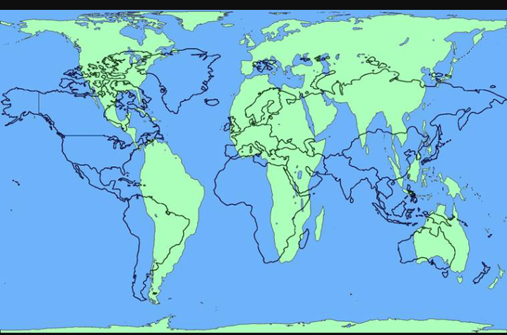
In classrooms and textbooks all across the USA, the most widely used map are Mercator projection maps which students are use to seeing.
The Mercator Map
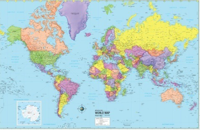
Most people reading this have never heard of the Map of Waldseemuller, including some historians and history teachers. However, most have heard of and seen Mercator projection maps especially in schools, libraries and in their own homes on globes. Students are use to seeing and studying maps and globes in class to find out where certain continents, countries, states, oceans, seas, lakes and deserts from around the world are located. Most students of geograhy and history are familiar with this maps but most students do not know that there are several variations of maps projections created by cartographers (mapmakers) from around the world.
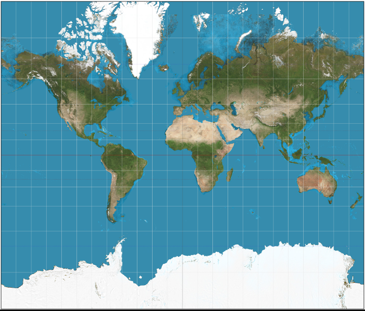
Gall Peters Projection Map
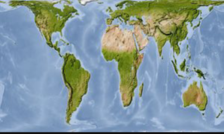
The Gall Peters projection map has recently made headlines in the news in the Boston Public Schools. The Gall-Peters projection map is widely used in Bristish schools and they are also encouraged for use by UNESCO
https://www.bostonglobe.com/metro/2017/03/16/north-america-really-bigger-than-africa-this-map-sets-things-straight/lK52K7aKYFpQ3b8ujJj6LP/story.html
https://www.bostonglobe.com/metro/2017/03/16/north-america-really-bigger-than-africa-this-map-sets-things-straight/lK52K7aKYFpQ3b8ujJj6LP/story.html